


2025 07 13 Damuls télésiège

chlafaille
User
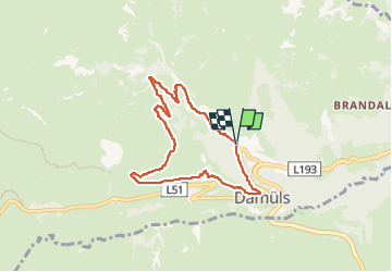

Length
6.6 km

Max alt
1695 m

Uphill gradient
326 m
Km-Effort
11 km

Min alt
1370 m

Downhill gradient
330 m
Boucle
Yes
Creation date :
2025-07-13 06:37:04.19
Updated on :
2025-07-13 08:29:07.613
1h51
Difficulty : Medium

FREE GPS app for hiking
 SityTrail
IGN / Geographical institutes
SityTrail Plus
The world is yours!
About
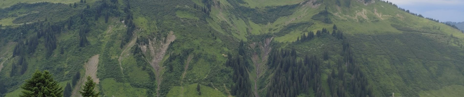
Trail Walking of 6.6 km to be discovered at Vorarlberg, Bezirk Bregenz, Gemeinde Damüls. This trail is proposed by chlafaille.
Photos


Positioning
Country:
Austria
Region :
Vorarlberg
Department/Province :
Bezirk Bregenz
Municipality :
Gemeinde Damüls
Location:
Unknown
Start:(Dec)
Start:(UTM)
567087 ; 5237347 (32T) N.
Comments